Erling Haaland, the cool Norwegian soccer player, has a pretty fun and slightly unhinged social media presence. During the World Cup, a clip from his Instagram account resurfaced where he claimed, “Just raw dogged a 7 hour flight. No phone, no sleep, no water, no food. Only map. #easy”
I have a confession: I, too, fly like this. Not for 7 hours, because I do sleep or watch a movie on a transatlantic flight, and yes I drink water, because hydration is important, ok? But I love the airplane map, and I always start and end with it on my screen, if the plane seat back has a screen.
On my most recent flight, I noticed something on the map that I see every time, which confuses me and slightly irritates me. The thing I noticed on the map, just west of Denver, is a place called “Porcupine Hill.”
I grew up in Denver. I spent a lot of my youth going into and around and back out of the mountains west of the city. Until its appearance on the map, I had never heard of this Porcupine Hill.
Surely there are more important mountains? Why would we not pick Mt. Elbert, the tallest mountain in Colorado? Or Mt. Blue Sky? Surely there are more famous ones, more iconic ones, more significant ones in terms of their history and their accessibility or lack thereof. This is Colorado, famously home to 54 peaks above 14,000 feet in elevation. What is this Porcupine Hill, which barely bumps up over the foothills at 10,210 feet? It’s just a mid-height peak near Idaho Springs. Why is this the mountain that defines Colorado within the United Airlines in-flight map?
I finally remembered to search for an answer once we were back out of airplane mode. I found more than one Reddit thread asking the same line of questions. One post originated two years ago, but the most recent response is from last week: “My 20 flights into Denver so far this year all validate Porcupine Hill spotlight,” wrote a Redditor named ToughSuccotash2007.
“I was just on a United flight and it’s still highlighted like it’s the most prominent mountain in Colorado. Other mountains show up and disappear depending on location and zoom level, but Porcupine Hill is always displayed and in a different color,” wrote RocTrailRunner.
I thought about asking the United social media team, which is unparalleled for a corporate account, because I feel like they might have some answers. Then I thought about sending a query as a journalist, because the public has a right to know. Why that mountain over any other?
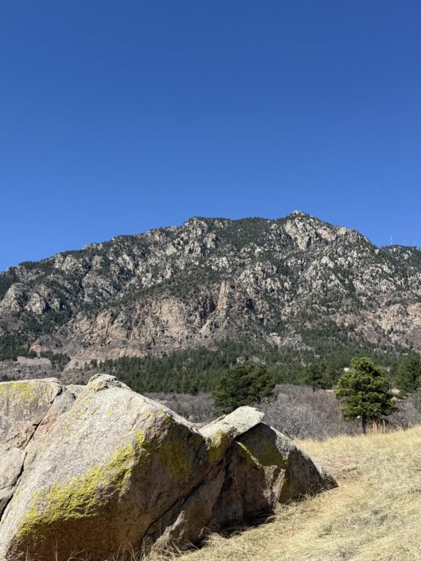
And then I looked out at the mountain I live on, Cheyenne Mountain in Colorado Springs, the mountain that has become my home. It has three prominences, and its main peak reaches 9,500 feet-ish, a number I find hard to verify because that is how incredibly broken Google is. I know it is slightly shorter than Porcupine Hill.
It is not the biggest mountain around — that would be Pikes Peak, at 14,115 feet. There are many others west of Colorado Springs that crest 10,000 feet, like Mount Rosa or Almagre Mountain. But Cheyenne Mountain is the one I think about most. It is the mountain to which I belong, at least for now.
It is my mountain, in other words. So maybe Porcupine Hill is that for someone, too. It could be a cartographer’s mountain. Maybe the person who inputs place names on FlightPath3D picked it because she climbed it as a child, and it was meaningful to her. Maybe she remembers visiting her grandparents who had a cabin near Porcupine Hill.
It’s easy for us to see, and to use, the biggest mountains, like Mt. Blue Sky, Mt. Elbert, Longs Peak, Pikes Peak. They are special, for sure. But so are the smaller, less-familiar, less traversed mountains in my home state. They are not any less worthy. Neither is Porcupine Hill, I realized.
When I get on a plane again, next week, I will turn on the map and rawdog part of my flight like Haaland. But this time I will not be annoyed when I see Porcupine Hill. I will more likely feel a twinge of homesickness and empathy for my imagined cartographer, and her love of her favorite mountain.
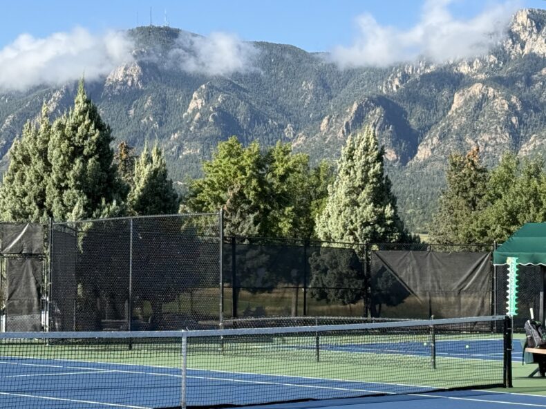
Images by the author

Oh. I can’t believe you did that to us. WHY PORCUPINE HILL? Now I really want to know too! I’ll bet there’s a great story behind it. Grist for another post, I guess.